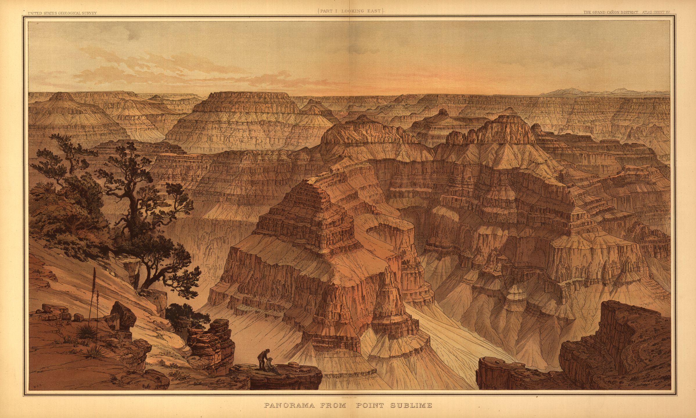
Mapping Grand Canyon: A Critical Cartographic History

For over 150 years, the geography of the Grand Canyon region has been the subject of multiple diverse manifestations of cartographic representation. Mapping Grand Canyon chronicles the history of mapping activities in and of the region—a space of real and imagined superlatives—while interrogating the corresponding societal and technological contexts of those activities and the meanings of their cartographic outputs. A distinctly critical cartographic history of the Grand Canyon emerges, one in which processes of socio-scientific change feature prominently as the motivations, tools, and techniques of mapping evolve over decades.
Matthew Toro | Director of Maps, Imagery and Geospatial Services | ASU Library, Map and Geospatial Hub
Paul Hirt | Professor | School of Historical, Philosophical and Religious Studies
Robert Spindler | University Archivist | ASU Library, University Archives